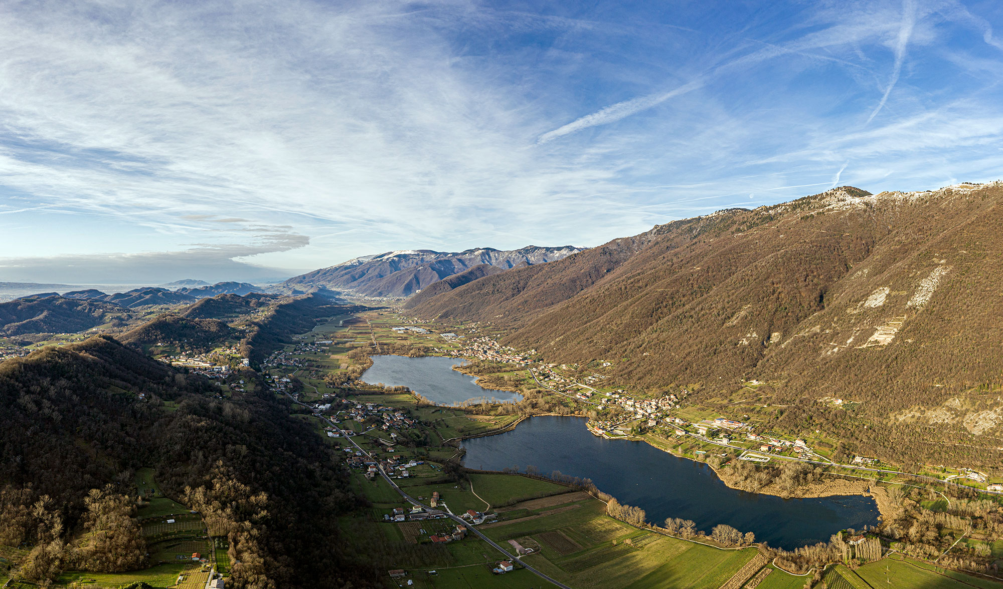
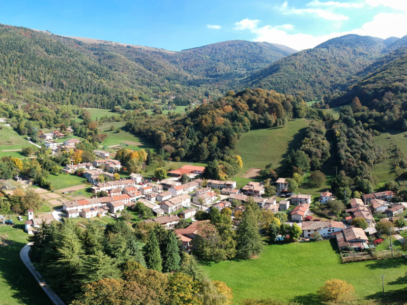
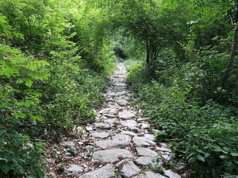
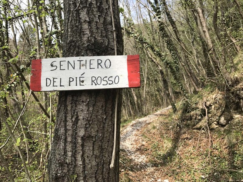
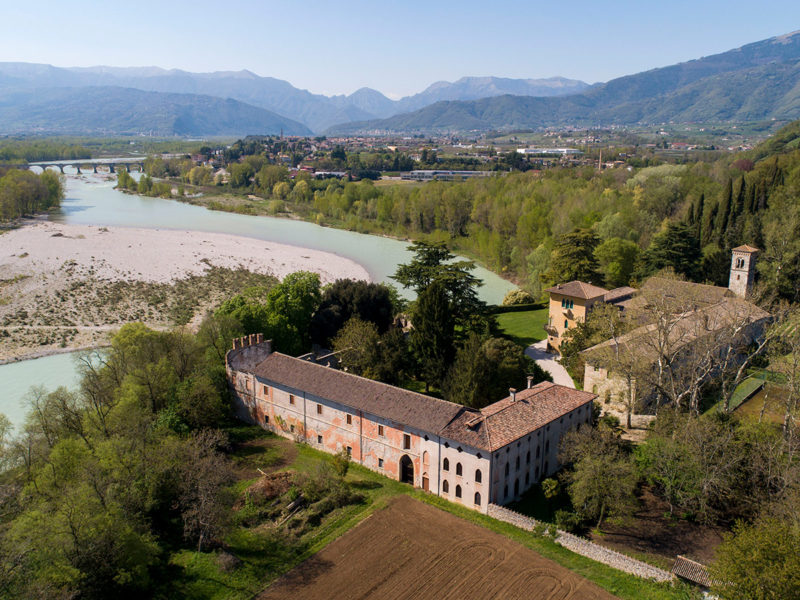
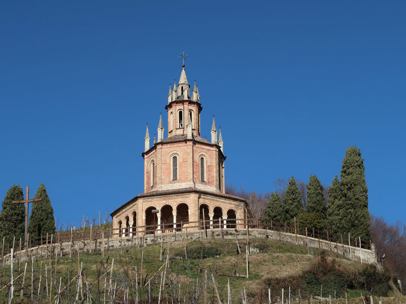
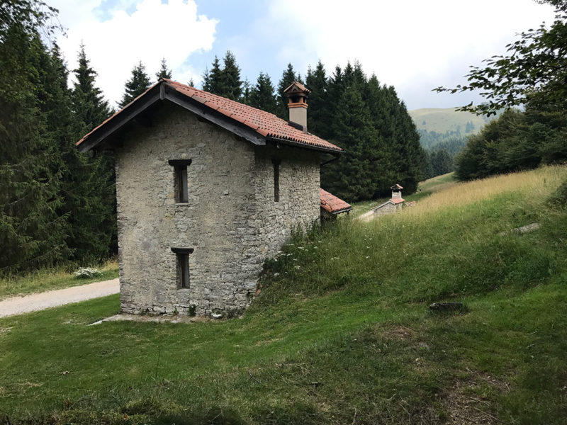
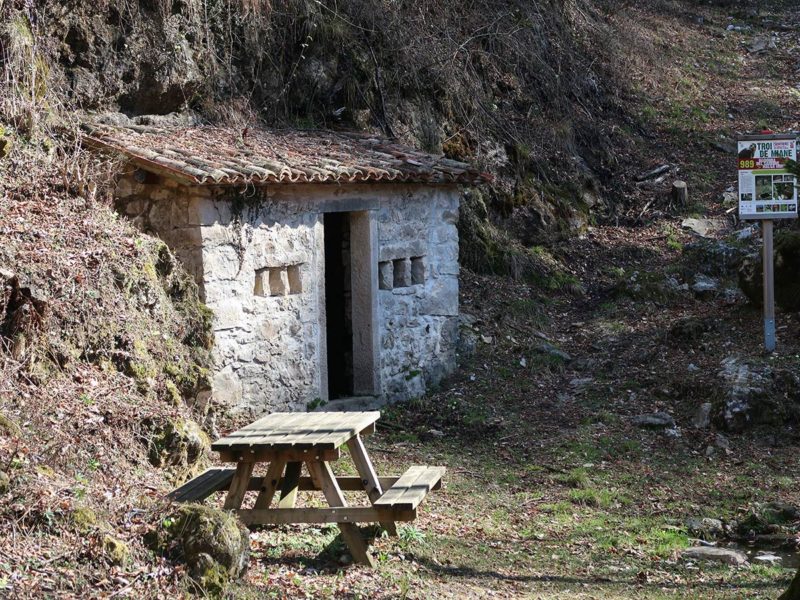
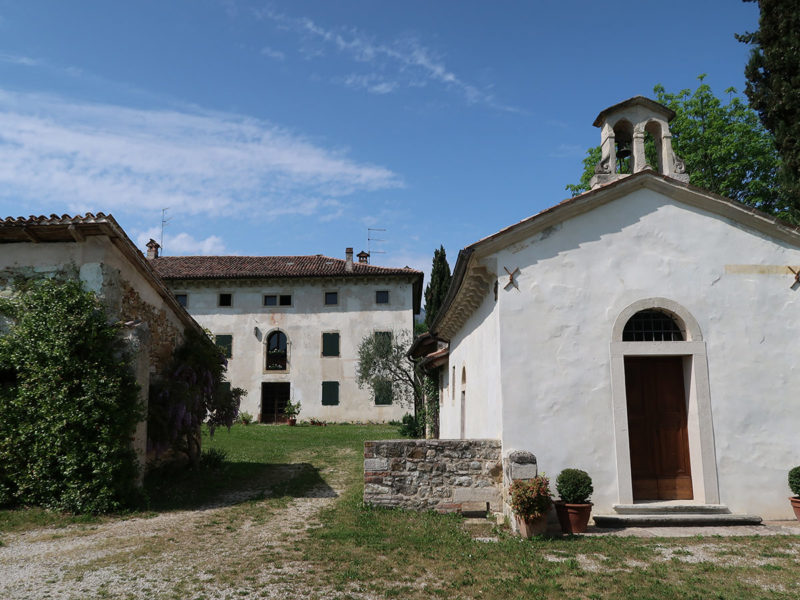
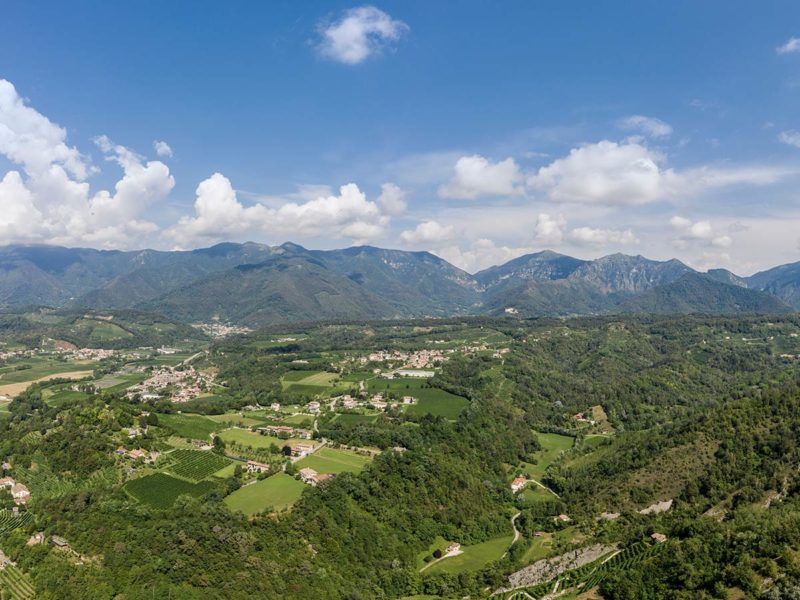
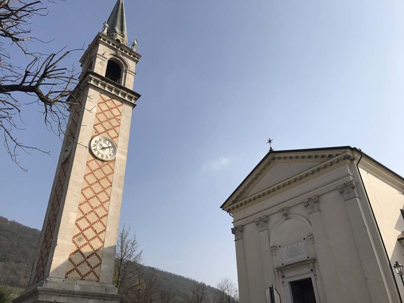
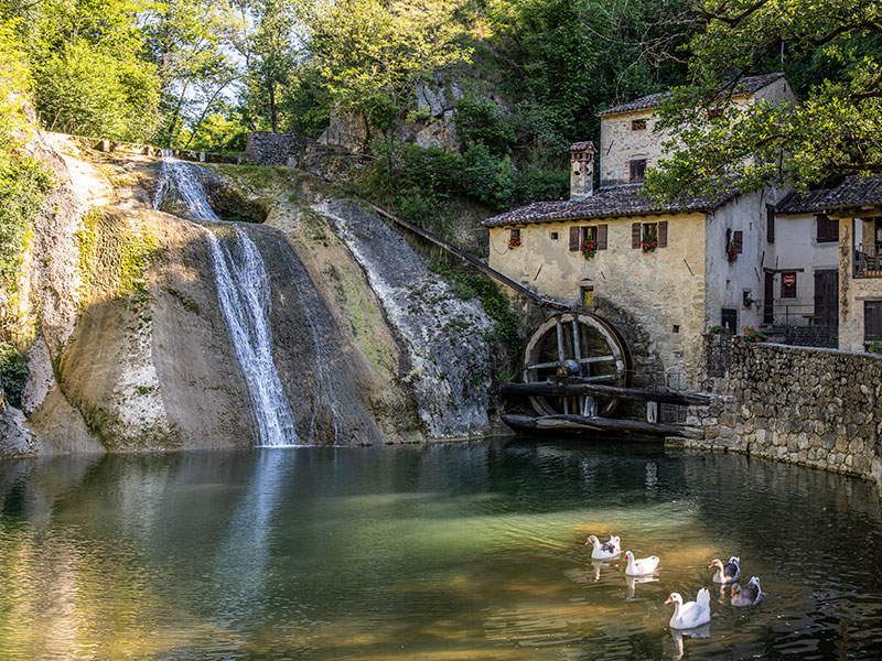
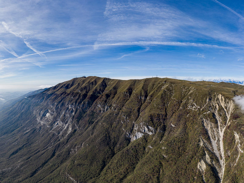
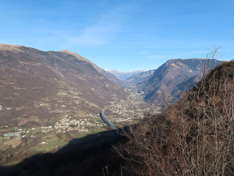
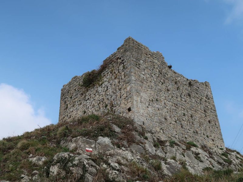
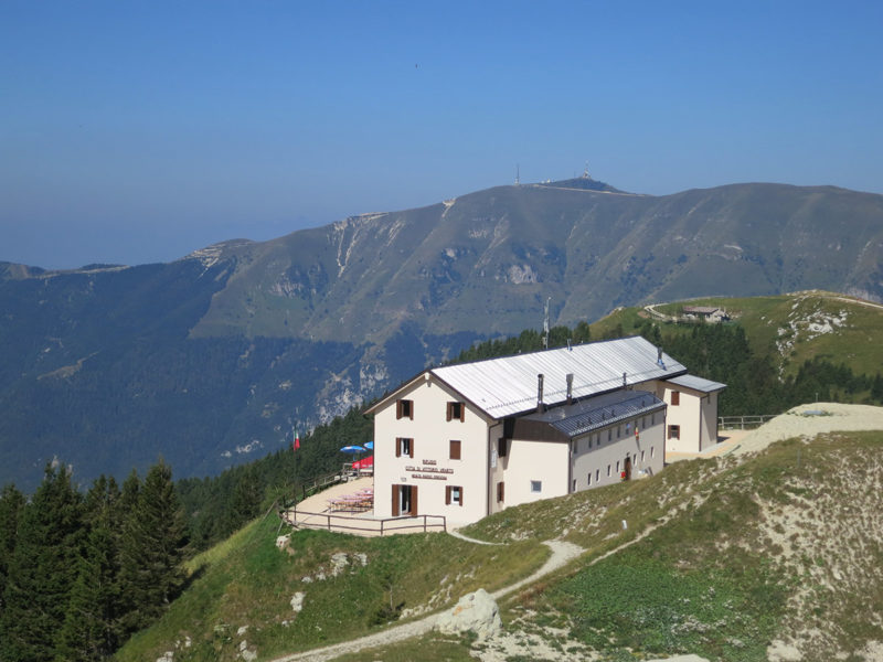
A guide that ranges from simple walks suitable for everyone to challenging itineraries on the highest peaks of the ridge. 430 km of routes with detailed descriptions of elevation, difficulty, distance, geo-referencing, photos and insights, for one of the most beautiful sceneries in Veneto.

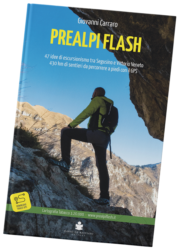
The new project by Giovanni Carraro
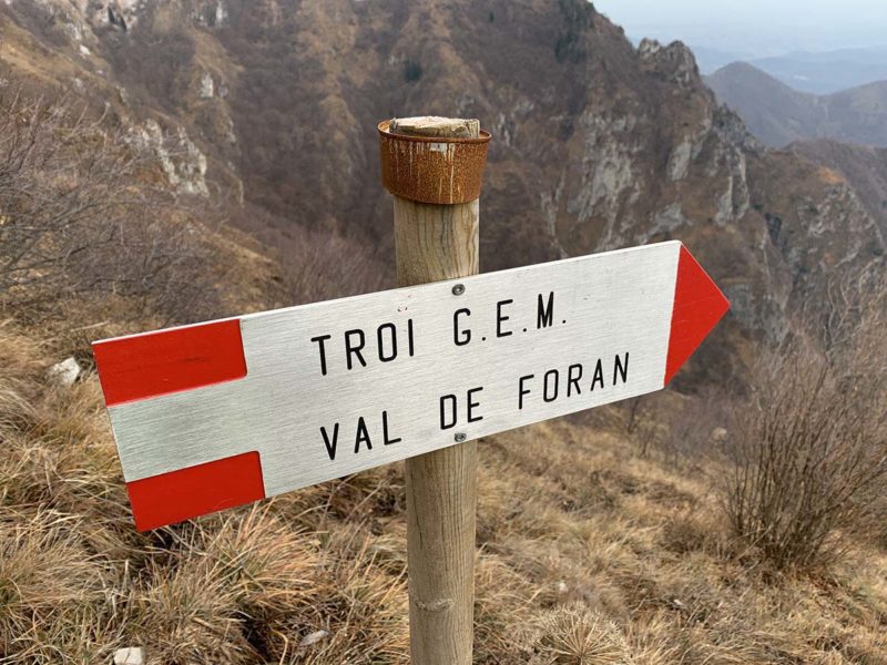
47 itineraries between Segusino and Vittorio Veneto
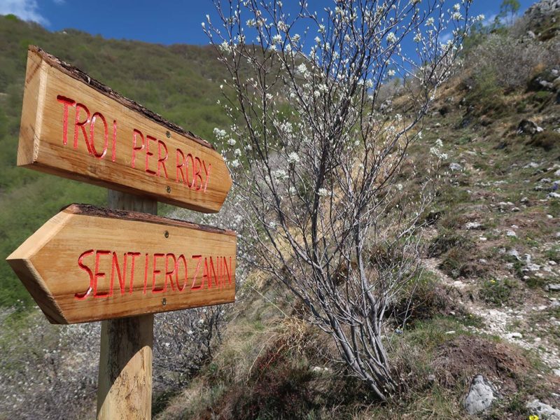
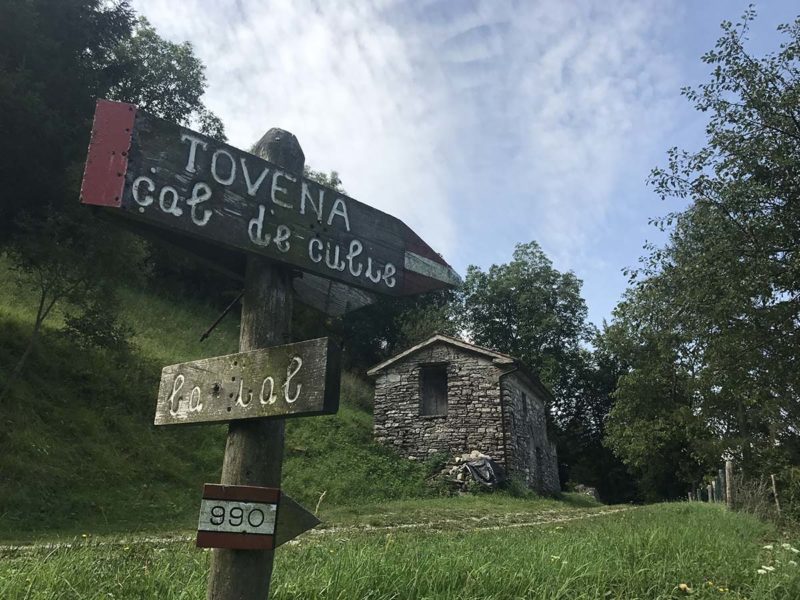
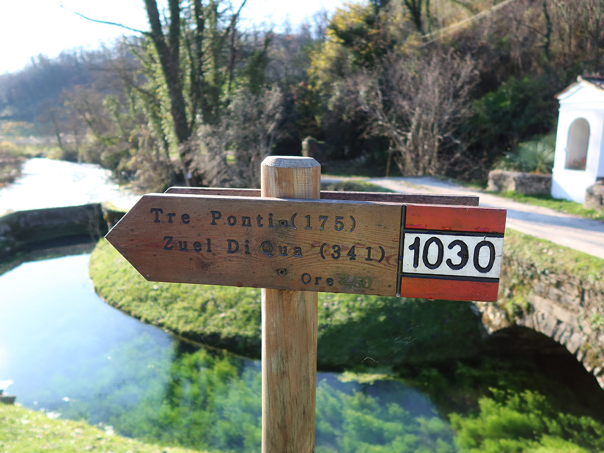
430 km of paths to hike with your GPS

FULL ITINERARIES
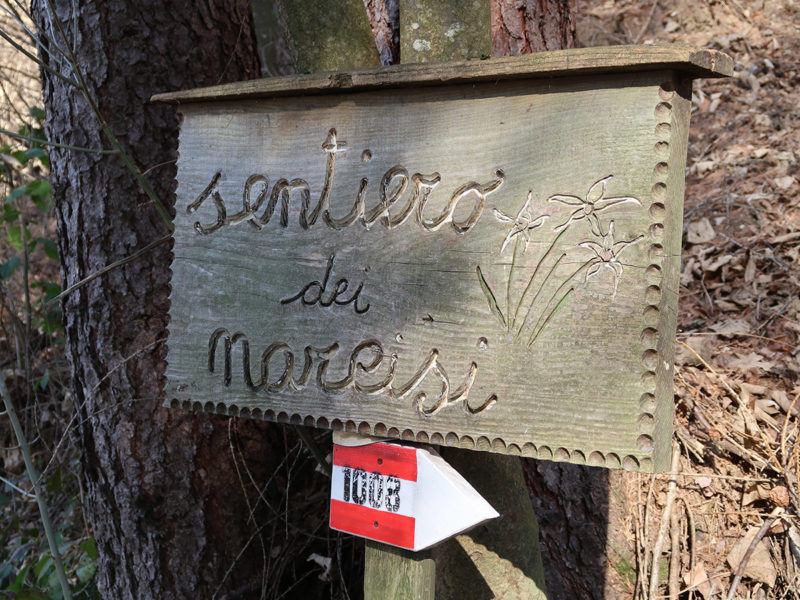
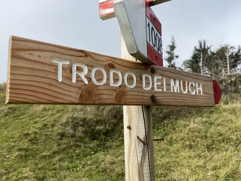
47 basic itineraries plus 10 variants for a total of 430 km, designed as a concatenation of different paths.

GPS ROUTES
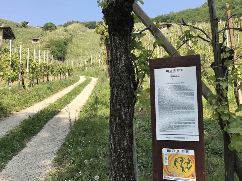
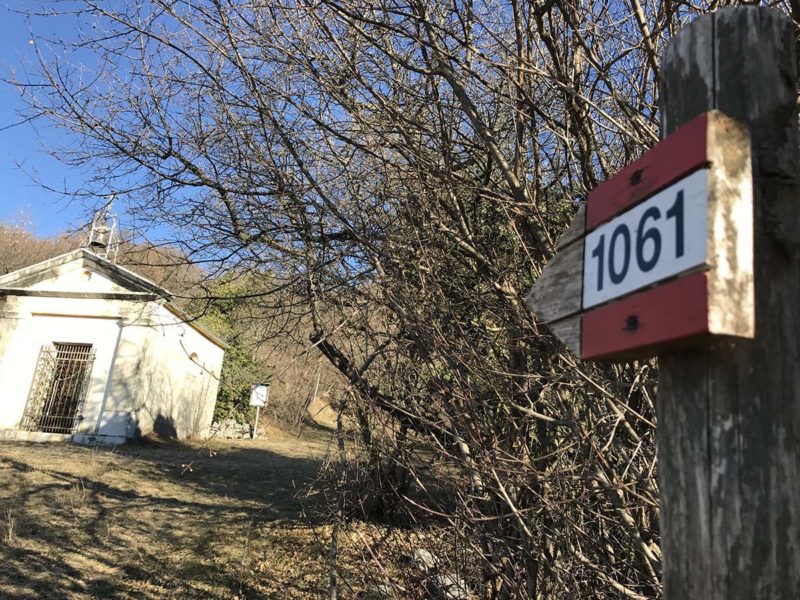
Download the routes and follow them through the App and hiking navigators.

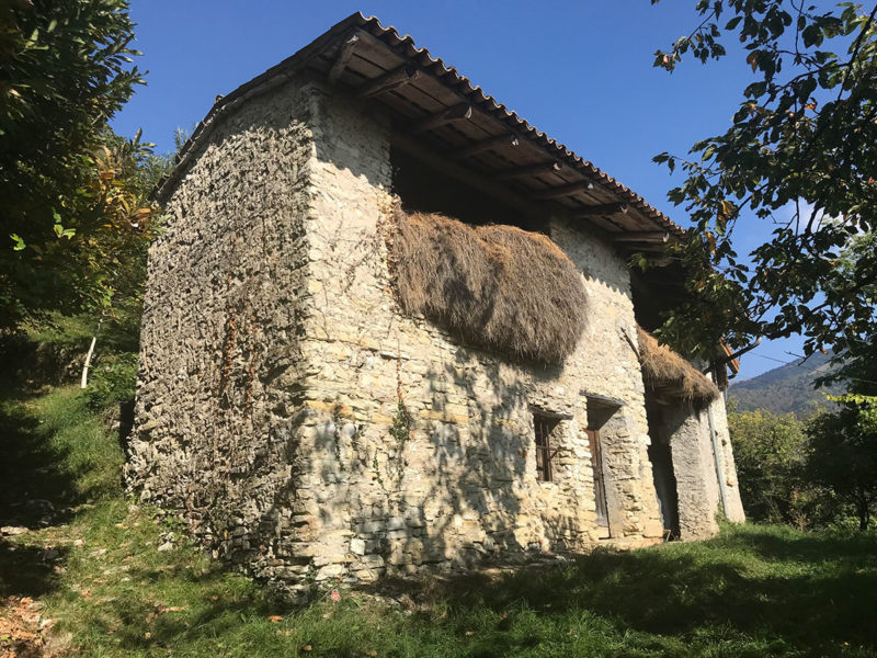
PHOTOGALLERY
Stories of itineraries told step by step with pictures of each stages.
DISCOVER THE ITINERARIES
“… Even today, when I wear my boots, I always come home with some story to tell, especially about historical paths that are sometimes reopened, so much so that I find myself again and again with a pen in my hand. That is how Prealpi Flash was born, with ideas for hiking combined with technology…”

Project carried out in collaboration with:
With the support and financial participation of: