- Starting point:
Cison di Valmarino, church of San Silvestro - Starting point coordinates:
45°58’38.20″N 12° 8’40.18″E
- Difficulty: Low
- Time: 3h
- Length: km 7,6
- Altitude: m 460
track
variant
THE ITINERARY
Description:
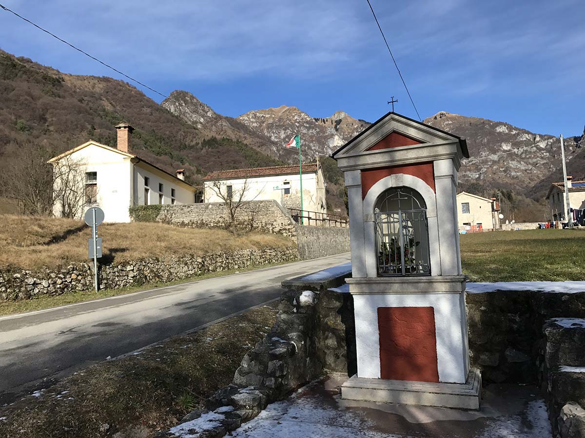
We are in one of the most fascinating corners of the entire pre-Alpine area of Treviso: Cison di Valmarino. Among the countless hiking options in this splendid area, one of the most popular… continue in the book
Fun facts:
May in this area bring with it an explosion of pink and blue among the rocks. It is two typical blooms of the area, the gentian (Gentiana clusii) and the flower of San… continue in the book
PHOTOGALLERY


