- Starting point:
Cison di Valmarino, Peroz square - Starting point coordinates:
45°59’36.91″N 12° 8’51.00″E
- Difficulty: High
- Time: 3h 30'
- Length: km 4,3
- Altitude: m 610
THE ITINERARY
Description:
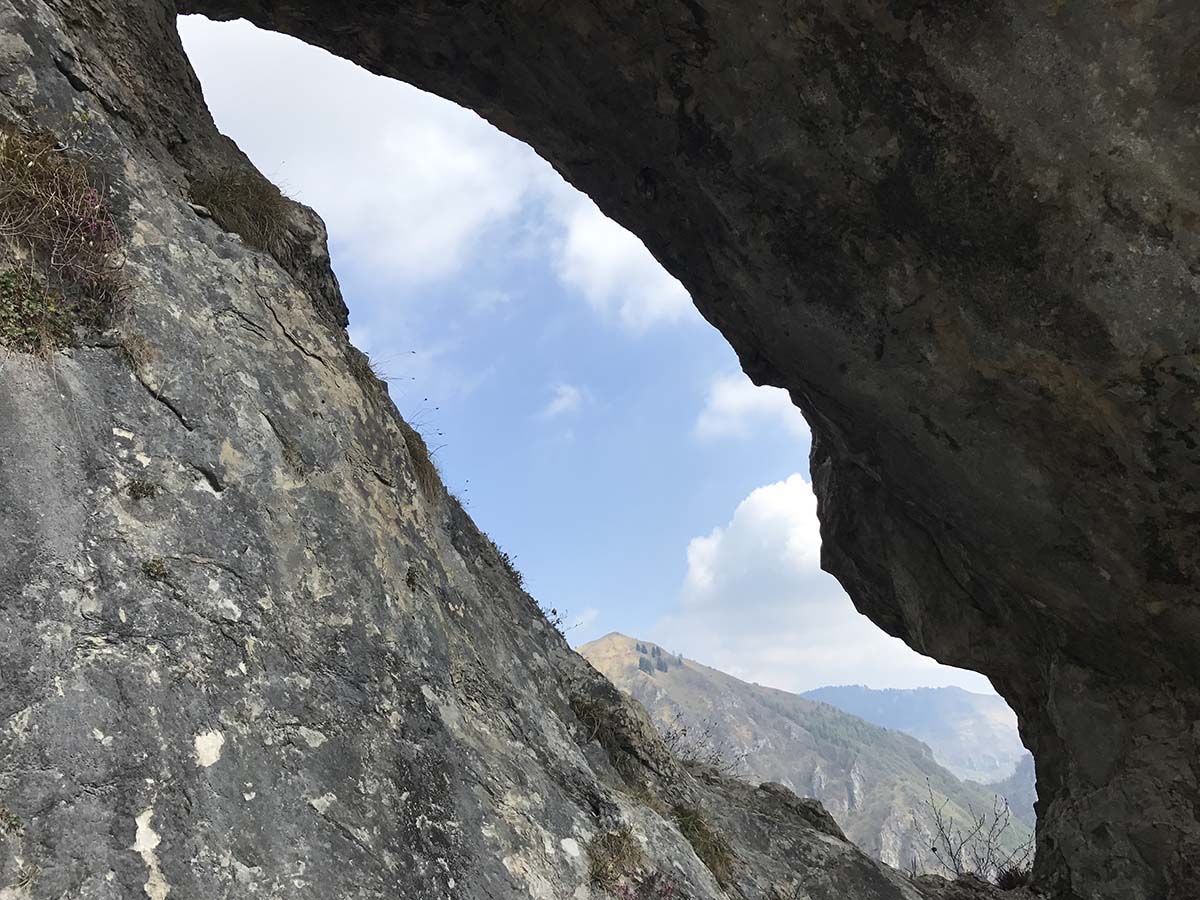
The Cison valley is full of paths, about fifteen tracks that are suitable for all needs. Here we are exploring an old path that was abandoned for a long time. It stretches… continue in the book
Fun facts:
For some years now, some chamois have been wandering in the valley, a quite rare event for the Treviso pre-Alpine area. They can usually be found in the area of… continue in the book
PHOTOGALLERY


