- Starting point:
Cison di Valmarino, Alpini square - Starting point coordinates:
45°59’19.02″N 12° 9’3.07″E
- Difficulty: Medium
- Time: 4h 30'
- Length: km 8,6
- Altitude: m 914
THE ITINERARY
Description:
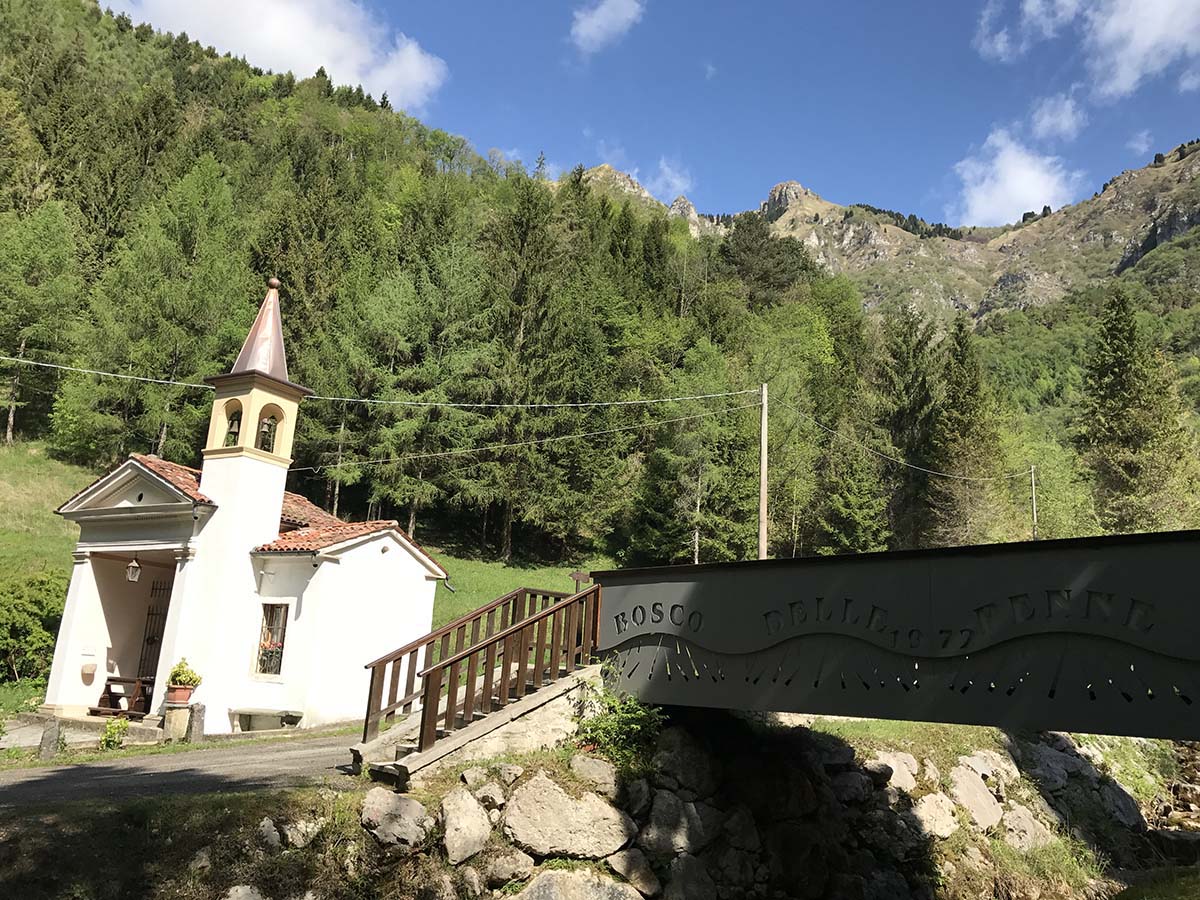
The ring route links some of the most well-known paths in the Cison di Valmarino valley, passing through challenging stretches that require sure-footedness and excellent training. The starting point is the square… continue in the book
Fun facts:
Located at an altitude of 1134 m under the imposing Crodon del Gevero, the Loff Bivouac was founded in 1970 on the initiative of some volunteers from Cison di Valmarino. It has a fireplace and upstairs… continue in the book
PHOTOGALLERY


