- Starting point:
Farra di Soligo, intersection of via Faverei and via San Nicolò - Starting point coordinates:
45°54’18.19″N 12° 7’8.30″E
- Difficulty: Low
- Time: 3h 30'
- Length: km 7,9
- Altitude: m 477
THE ITINERARY
Description:
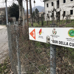
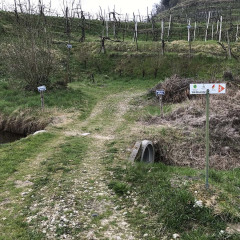
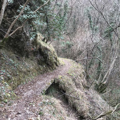
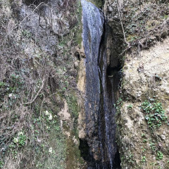
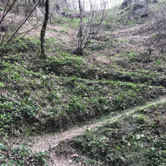
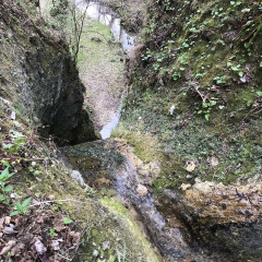
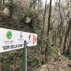
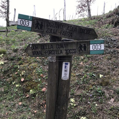
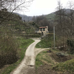
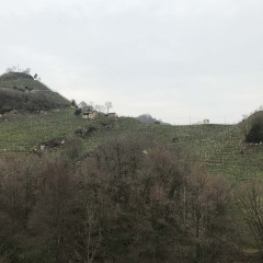
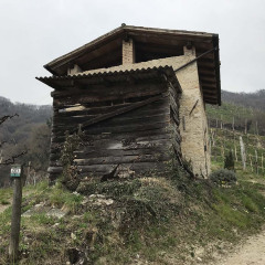
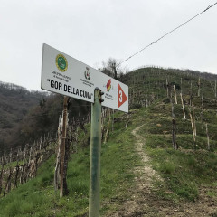
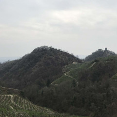
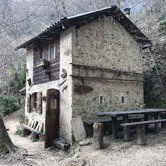
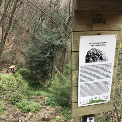
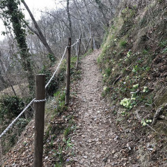
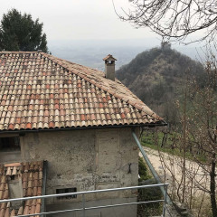
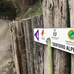
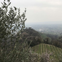
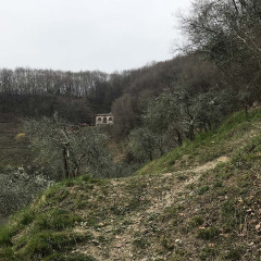
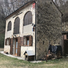
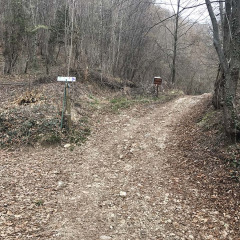
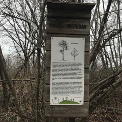
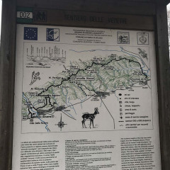
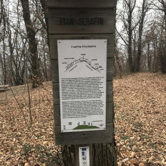
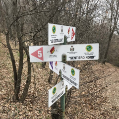
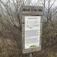
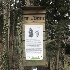
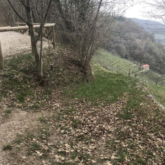
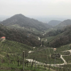
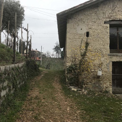
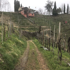
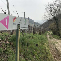
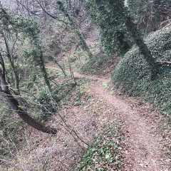
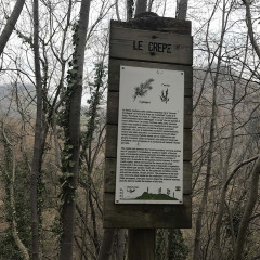
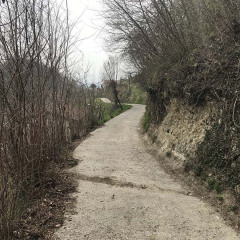
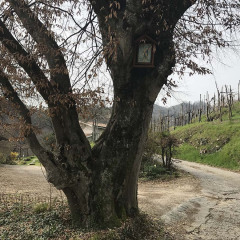
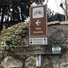
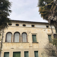
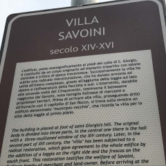
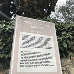
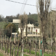
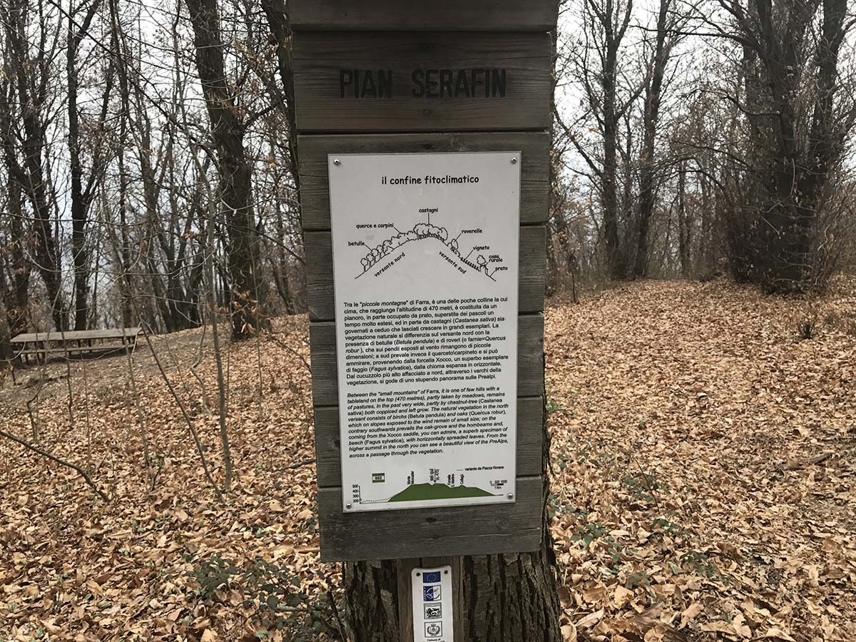
We are in one of the most beautiful areas of the Prosecco hills. The excursion will take us to visit unexpectedly wild places a stone’s throw from the villages of the Pedemontana area, where important, strategic settlements existed since ancient times. Start west of Farra di Soligo, at the intersection of via Faverei and via San Nicolò. Following the signs indicating “no.3 Gor della Cuna”, take a country road that later becomes a path, along the orographic right of the Rui Stort stream. In a few minutes you will enter a small canyon made up of high conglomerate walls, reaching Gor della Cuna through a uphill and downhill climb. This name derives from the waterfall which, with its erosive action on the rock, has created an incredibly evocative environment. Continue through the vineyards until you reach the Casetta in Vanal, a splendid country farmhouse. Leave trail no. 3 to follow the Alpine trail no. 4, which reaches another house surrounded by olive trees and then arrives at the Vedette trail. The view is truly spectacular, looking over hills dotted with houses and winding streets while the Credazzo Towers appear in the distance. Continue east on the ridge line of the Vedette, passing through Mount Pertegar, the Xocco fork, Pian Serafin, the Colesie and Col Vinal, then at the Forcella San Martino zigzag downwards through the southern vineyards until you reach a saddle where the Crepe trail starts. This will take you close to the Col della Porchera; there, turn right again through the vineyards and descend to Borgo Grotta. From here, following via Rialto and via San Nicolò, pass in front of Villa Savoini and Villa Caragiani – Badoer, completing the ring route.
Fun facts:
The strip of small hills between Soligo and Col San Martino, made up of the Colle di San Gallo, La Porchera, Colle di San Giorgio and San Vigilio, is called the “linea dei castellieri” (castle line) as there are records of human settlements dating back to the Bronze Age, as evidenced by sporadic findings of ceramic fragments right on the top. Being the first hills to overlook the plain, they have represented strategic observation points for centuries, used up to the most well-known phases of the Lombard and medieval periods.
