- Starting point:
Montaner, church of San Pancrazio - Starting point coordinates:
45°59’52.18″N 12°22’45.87″E
- Difficulty: Medium
- Time: 3h 30'
- Length: km 7,6
- Altitude: m 563
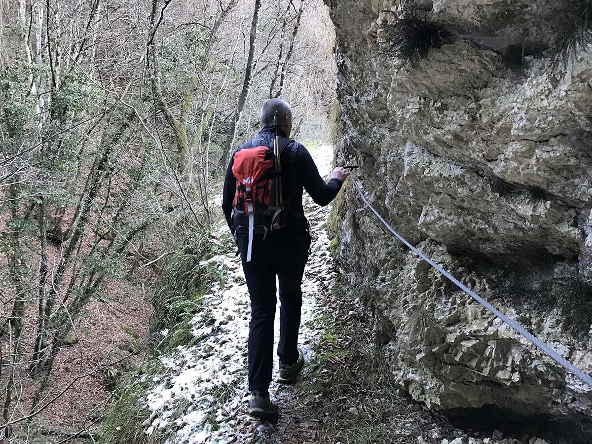
THE ITINERARY
Description:
We are in the easternmost part of the Treviso Pre-Alps, in Montaner, a town that boasts a long history linked to the Resistance. This itinerary allows us to visit the splendid prairies… continue in the book
Fun facts:
In the 1960s, with the death of the beloved parish priest Don Giuseppe Faè, the population rose up following the decision of Bishop Albino Luciani to designate a successor different from the one they wanted… continue in the book
PHOTOGALLERY


