- Starting point:
Santo Stefano di Valdobbiadene - Starting point coordinates:
45°54’21.17″N 12° 2’6.61″E
- Difficulty: Medium
- Time: 3 h 30'
- Length: km 9,3
- Altitude: m 660
track
variant
THE ITINERARY
Description:
Pian di Farnè, one of the most famous grazing areas included in the Mount Cesen area, can be reached via various roads and paths. Let’s see how to access it through the historic “Strada de… continue in the book
Fun facts:
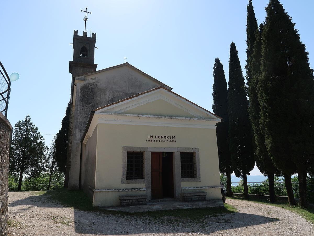
The hermitage of Saint Albert, located in the borough of Barbozza, is an old place of worship and pilgrimage dating back to 1488. It is characterized by the presence of a monastery. Among the hermits who stayed there… continue in the book
PHOTOGALLERY


