- Starting point:
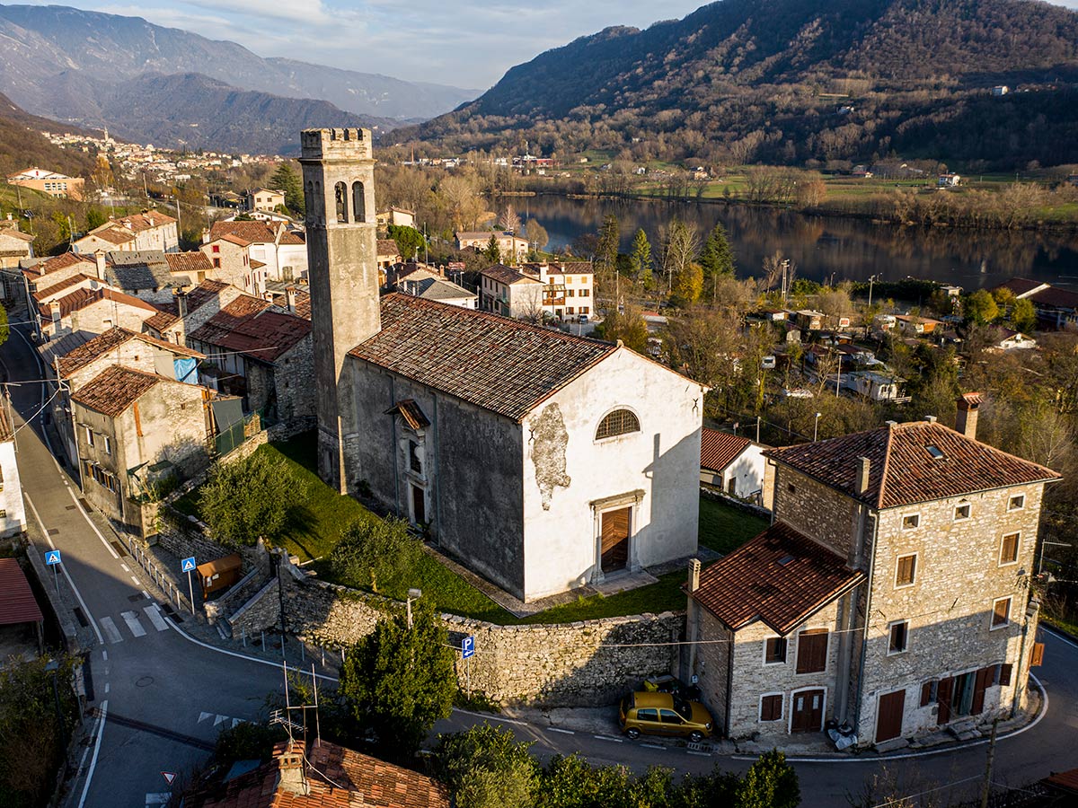
Santa Maria - Starting point coordinates:
45°59’29.76″N 12°13’52.29″E
- Difficulty: High
- Time: 5h 30'
- Length: km 11,8
- Altitude: m 1.027
THE ITINERARY
Description:
Here we are in the Revine Lago area, a town known for the presence of two beautiful lakes but also for its magnificent high-altitude trails. A large hiking ring route with a considerable altitude difference… continue in the book
Fun facts:
From time to time along the route we come across the remains of the braided cable of the old cableway which, starting from Pian de Frassené, descended to the valley floor, overcoming a considerable difference in elevation… continue in the book
PHOTOGALLERY


