- Starting point:
Cison di Valmarino, Castelbrando parking - Starting point coordinates:
45°58’0.31″N 12° 8’16.85″E
- Difficulty: High
- Time: 7h
- Length: km 15,7
- Altitude: m 1.261
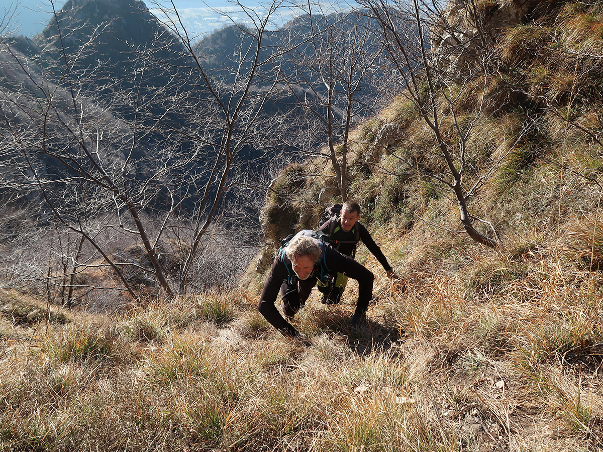
THE ITINERARY
Description:
Reaching the peaks of Cison di Valmarino requires a certain physical effort due to the great difference in elevation offered by the numerous paths that start from the Peroz square. Trifles if you decide to… continue in the book
Fun facts:
The Scaletta Pass in the past represented an alternative route to the San Boldo Pass. From the saddle you could see the top of the hill where the niche for Saint Cajetan stands today… continue in the book
PHOTOGALLERY


