- Starting point:
località Perdonanze, Perdonanzestellung trench - Starting point coordinates:
45°58’19.12″N 12°16’19.42″E
- Difficulty: Low
- Time: 1h 30'
- Length: km 4,2
- Altitude: m 280

track
variant
THE ITINERARY
Description:
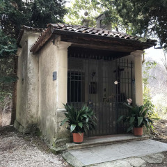
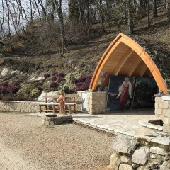
The Perdonanze have for centuries been an important religious stop for the inhabitants of Ceneda, which is linked to the ancient rite of atonement for sins, hence the term “perdonanze” (“forgiveness”, in Italian). Even today… continua nel libro
Fun facts:
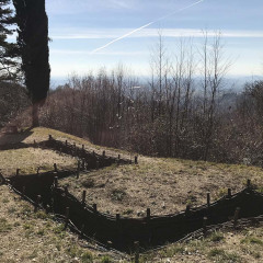
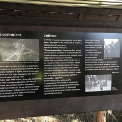
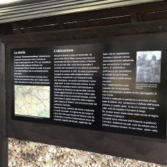
The Perdonanzestellung trench (from the German “Perdonanze position”) which can be seen at the beginning of the route was built by the Austro-Hungarian troops in 1918 as an advanced observation point. It had… continua nel libro
